Compare old maps with today's KGIS basemap
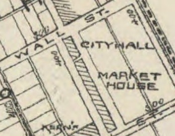
A wealth of information can be gleaned by looking at old, historical maps. And viewing these maps alongside KGIS's current data can provide helpful clues to archivists and armchair historians alike.
Therefore, KGIS is now introducing a new interactive mapping application, called Historical Maps, to allow for viewing informative maps from Knoxville and Knox County's past.
We've taken copies of several old maps, and, using GIS software, have rectified (i.e. warped, twisted, stretched) them to closely align with KGIS's current basemap. Since KGIS's basemaps are mapped to a much higher precision, utilizing the Tennessee State Plane Coordinate System NAD 83 horizontal datum and Lambert Conformal projection, many of these older maps do not easily align themselves. Nevertheless, KGIS staff have attempted to match them to our current map by using control points around which to warp and twist the map...essentially forcing coincidence with our current-day map.